Green Farms Scan
Rapid environmental screening for any agricultural property.
- Vegetation condition
- Water indicators
- Climate exposure
- Terrain
- Land cover
- Preliminary carbon project suitability
Green Farms scores any farm 0–100 on soil, vegetation, water and carbon, using satellite imagery — right inside the listing.
Agrisell has sold countryside property since 1998. This year they added a Green Farms collection to their site — listed alongside Karoo Farms, Game Farms and Irrigation Farms. Not a badge on a listing. A category buyers browse by.
An 814 ha Riversdale dairy at R58,300 a hectare and 3,365 ha of Nuweveld grazing at R1,700 — read on the same index.
Browse the Green Farms collection on AgrisellBuyers now ask how the veld has trended, whether the water is holding, and whether any of it qualifies for a carbon project. A listing has nowhere to put that. So the buyer either drives four hundred kilometres to find out, or doesn't drive at all.
Farm boundaries come from the existing listing data into the Terasell registry.
Sentinel-2 imagery at 10 m per pixel across soil, vegetation, water and carbon, with 36 months of vegetation history.
One iframe into your existing listing template. No development work.
At four scored farms, buyers stop reading it as a detail and start using it as a filter.
From initial property screening to continuous estate monitoring, Green Farms helps landowners, buyers, agents and investors make better decisions about agricultural land.
Rapid environmental screening for any agricultural property.
Detailed intelligence for farm acquisitions, lending and investment decisions.
Field validation through qualified agricultural and environmental professionals.
Continuous environmental monitoring for farms, estates, lenders and investment portfolios.
Green Farms converts complex environmental signals into clear property and portfolio intelligence.
A composite view of vegetation, water, terrain, climate and environmental condition.
Track vegetation condition, seasonality and change through time.
Understand surface water, moisture patterns, drought exposure and water related risk.
Assess heat, rainfall variability, drought and long term climate pressure.
Identify areas that may warrant further investigation for soil, woodland, restoration or land based carbon projects.
Carbon project suitability is a preliminary screening output and does not constitute carbon verification, credit issuance or project approval.
Identify areas with potential environmental, ecological or restoration value requiring further professional assessment.
Green Farms helps modern estates connect agricultural production, environmental performance and long term land stewardship.
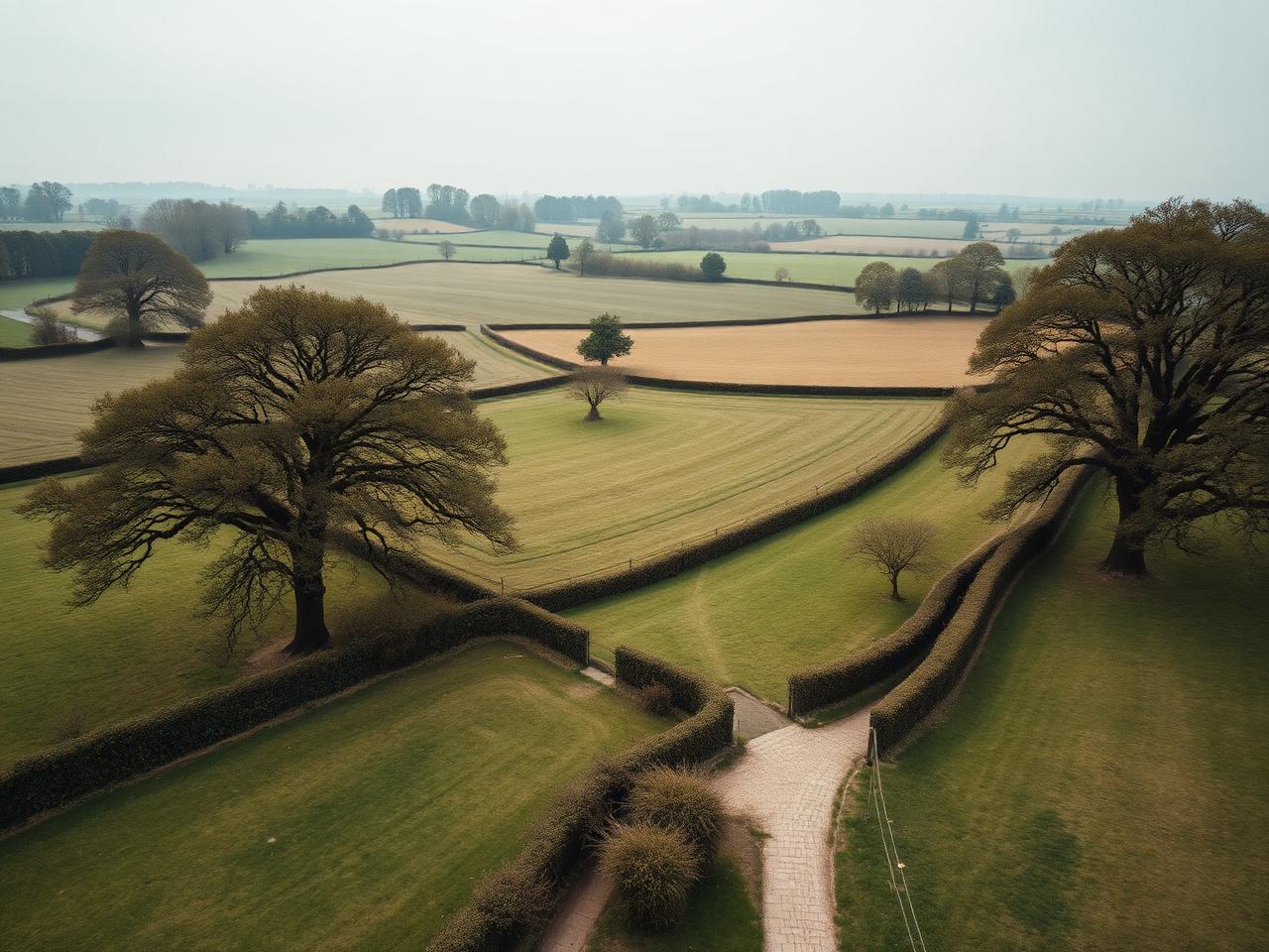
Environmental intelligence for estates, rural property transactions, agricultural lenders, land agents and farming programmes.
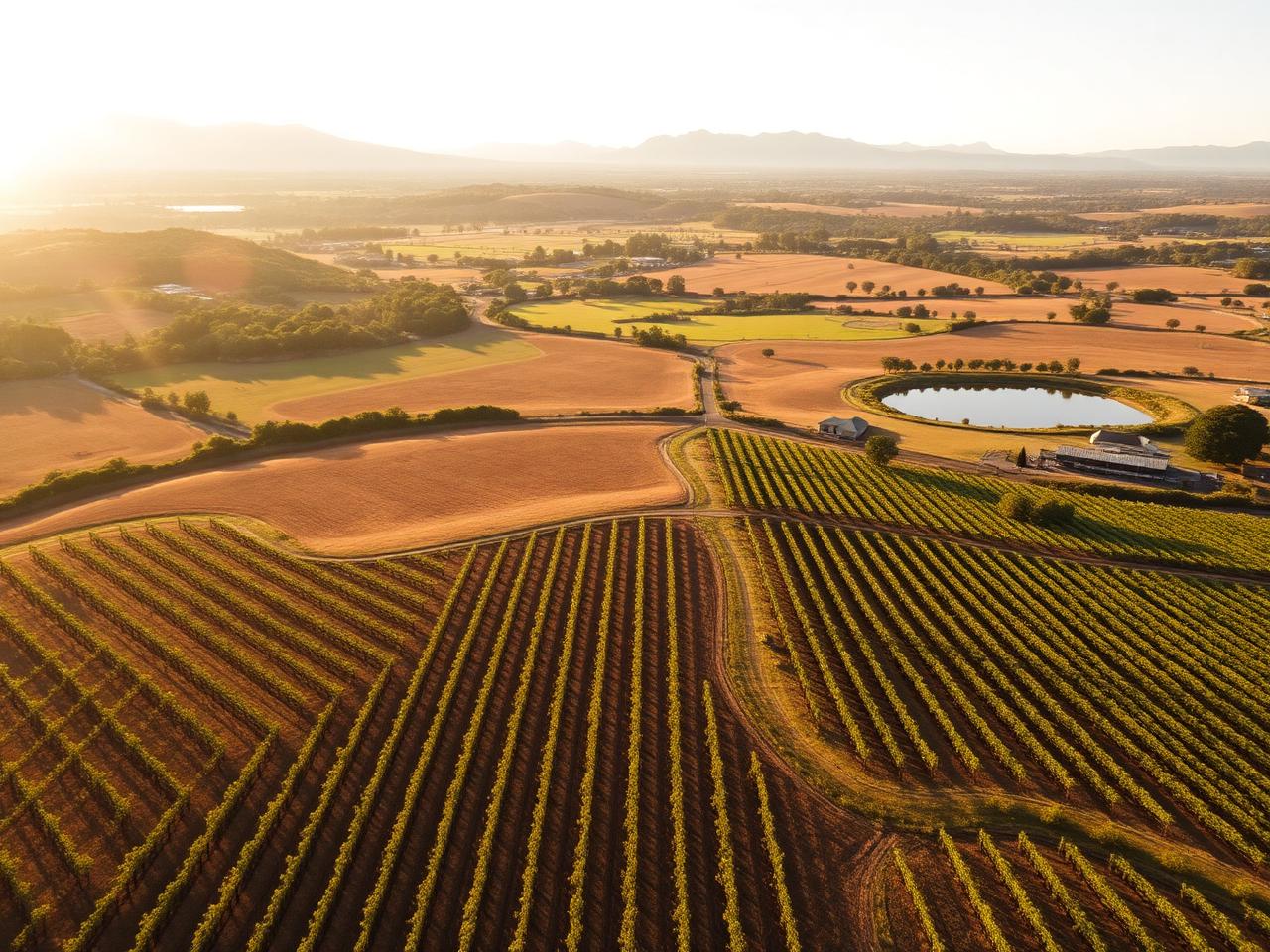
Farm intelligence for agricultural buyers, estate agents, family offices, lenders and landowners managing climate, water and productive land risk.
Green Farms uses a common intelligence framework while adapting indicators to local farming conditions, datasets and environmental context.
Screen farms before visiting, compare properties and identify environmental risks before making an offer.
Monitor land condition, identify intervention areas and create evidence based estate reports.
Add environmental intelligence to agricultural property listings and generate stronger buyer engagement.
Assess environmental exposure across agricultural loan books and monitor changes over time.
Compare agricultural assets and track productive resilience and environmental performance.
Identify land that may be suitable for more detailed project feasibility assessment.
The widget sits inside the listing page. Buyers read land condition, vegetation, water and preliminary carbon suitability before they enquire.
<iframe
  src="https://www.greenfarm.earth/widget/farm/CL806"
  width="100%"
  height="1100"
  style="border:0;"
  loading="lazy"
  title="Green Farms environmental intelligence"
></iframe>
546,000 m³/yr registered water. Four dams, a fifth approved. 900–1,000 mm rainfall. 80 ha gravity irrigation.
Four title deeds to 1,910 m. High-lying palatable grassland, 1:30 LSU. Solar boreholes, perennial fountains.
Satellite imagery, terrain and water layers, indicator scores, analyst commentary and data sources — in the interface buyers actually see.
546,000 m³/yr registered water. Four dams, a fifth approved. 900–1,000 mm rainfall. 80 ha gravity irrigation.
Composite of soil, vegetation, water and carbon indicators on the Land Health Index, scored 0–100 from satellite observation.
Higher is better on every indicator · Select a row for the rationale
The Environmental Intelligence Score is a preliminary comparative indicator based on available satellite and environmental datasets. It is not a formal valuation, certification or guarantee of future land performance.
Each listing carries its own environmental intelligence panel and, where published, a full Land Health Score.
33°19′S 21°09′E ±5 km
Kraai Fontein returns 84 / 100 on natural capital potential — the highest single-indicator result recorded anywhere in the Green Farms pilot portfolio, in South Africa or the United Kingdom. That is the finding of this report, and everything else in it is either evidence for that number or a constraint on realising it.
Every insight should show its source, date, geographic resolution and confidence level.
Remote sensing identifies patterns and areas for investigation. It does not replace field sampling, legal due diligence or professional agricultural advice.
Professional verification can be added where decisions require field evidence.
Scores and models improve as additional farm, field and environmental data become available.
Green Farms combines satellite imagery, environmental data and artificial intelligence to assess farmland across vegetation, water, climate, carbon potential and land resilience.